-40%
Navionics+ for North Region on SD-MicroSD Card
$ 68.94
- Description
- Size Guide
Description
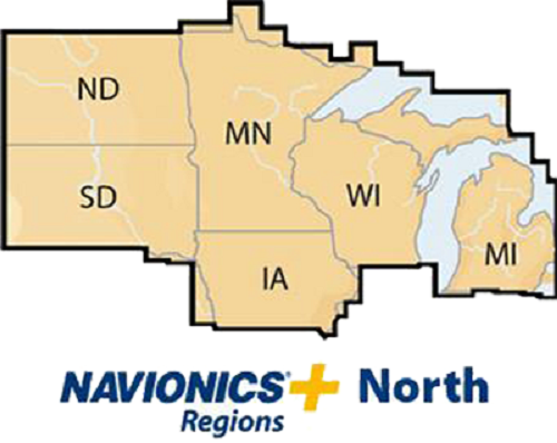
Navionics+ for North Region on SD-MicroSD CardThe problem with paper charts is that once you have the chart, the data you rely on never changes until you purchase a new chart. Electronic charts off the ability to update and add to the data available, but actually doing the update still requires buying a new chart, though usually at a reduced price. Because of that, people rarely update their electronic charts.
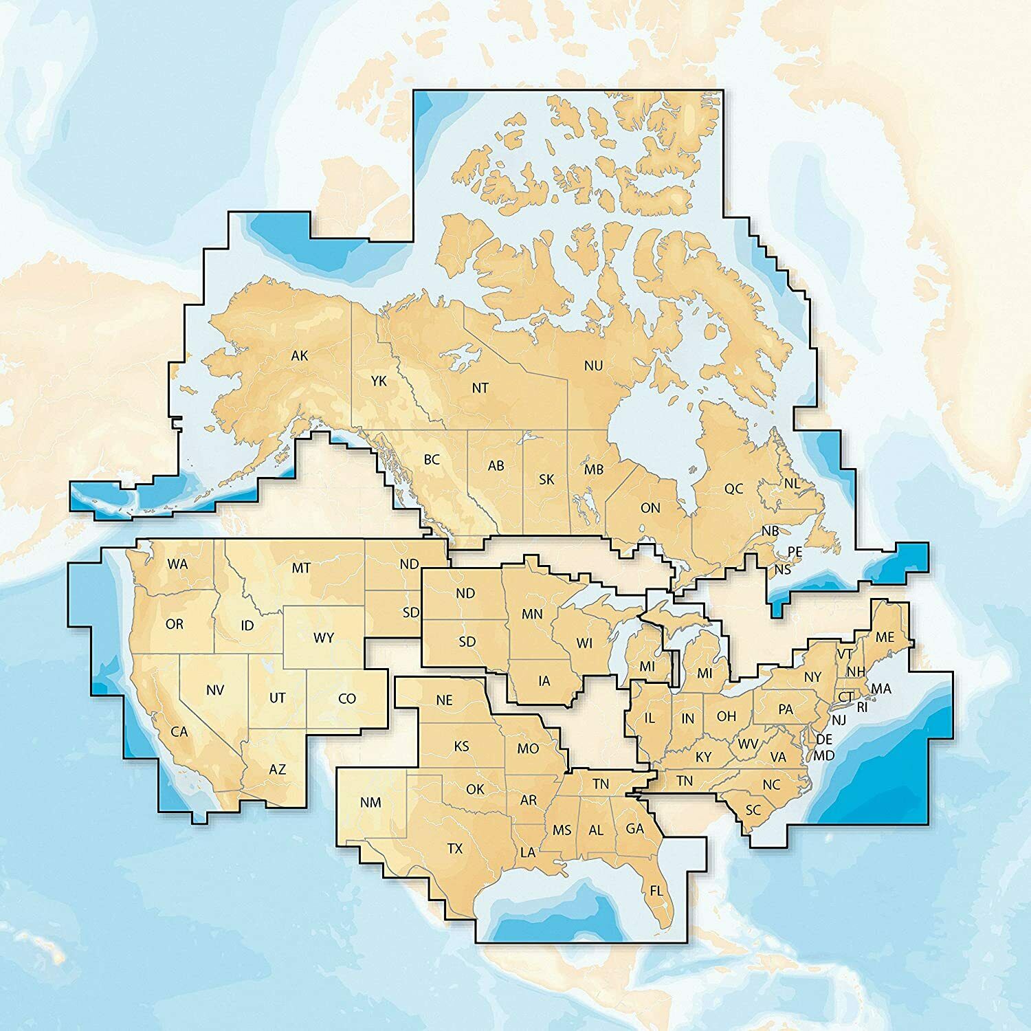
Navionics+ solves that problem by including unlimited updates to the basic chart data contained on your chart. The card comes pre-loaded with highly detailed coastal charts and inland lake data for all North America, and is ready to use as soon as you plug it into your plotter. In addition, you can plug the card into your computer (using the supplied card reader) and dowload a wealth of additional information as often as you like. Information available includes:
OFFICIAL UPDATES:
Government agencies and cartogrpahers are constantly updating the information contained on electronic charts. With Navioinics+ you can add those updates anytime you want. Going on a long cruise but haven't used you chartplotter in some time? Download the latest updates and you'll be sure that you're travelling with the most current information.
SONAR CHART:
Sonar data from a variety of sources, including Navionics users, is collected, correlated, and added to your charts, creating high-definition detail of bottom contours. Send in your sonar logs to help build a more accurate database for all to use. (For compatible chartplotters)
COMMUNITY EDITS:
Navionics customers continually send in local information that is added to the Navionics database. Has the channel moved or is there a new obstruction in the waterway? Is there a new marina or artificial reef? Chances are someone has sent that information in to Navionics, and it's been added to the chart.
Update SonarChart data, basic chart data, or Community Edits for up to a year. When your first year is complete, you can renew the service a year at a time for a reasonable fee.
In the Box
Electronic Chart on Micro-SD card w/ adapter
About Product Support
Navionics is based in Viareggio, Italy, and operates sales and manufacturing facilities in seven countries conducting research & development, operations, production, sales & marketing and distribution. For 24 years, Navionics has developed and manufactured electronic navigation charts and systems for marine, inland lakes& rivers and outdoors use. In 1984, Navionics established itself as the pioneer in electronic charting, introduced the first electronic charts to the world, and opened a new era of navigation. Navionics quickly established an early lead in electronic cartography followed by a series of technological innovations, and continues to be a leader in quality, coverage and value.
